|
| *****SWAAG_ID***** | 25 |
| Date Entered | 09/01/2011 |
| Updated on | 13/12/2011 |
| Recorded by | Tim Laurie |
| Category | Burnt Mound |
| Record Type | Archaeology |
| Site Access | Army Range |
| Location | Marske,Cordilleras Ranges.Buzzard Scar, double site |
| Civil Parish | Marske |
| Brit. National Grid | NZ 088 040 |
| Altitude | 348m |
| Geology | Richmond chert. |
| Record Name | Marske,Cordilleras Ranges.Buzzard Scar. One very large and prominent burnt mound and one much smaller site. |
| Record Description | Complex site on open heath above Marske Beck (two sites adjacent), wide views towards Holgate How.
This large site comrises a number of mounds arranged aroiund a central trough. It is low and turf covered. The smaller site is located at the edge of the dry ground a few m. to the north.
This burnt mound complex is located just 300m to the north of a round house settlement, recorded seperately, located on a terrace below Buzzard Scar. |
| Dimensions | Large, medium and medium low |
| Additional Notes | Dimensions.
Size: Small <6m, Medium 6m-9m, Large 10m-15m, Extra large >15m.
Height: Low <0.5m, Average 0.5-1.0m, High >1.0m. |
| Image 1 ID | 1687 Click image to enlarge |
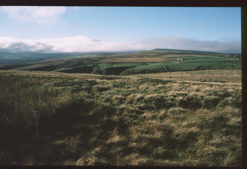
| Image 1 Description | Burnt mound above Buzzard Scar. View towards Holgate How (Round Barrow on summit and carved rocks below) | 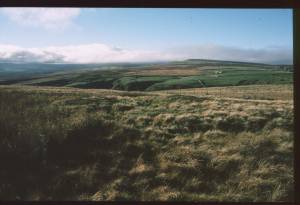 |
| Image 2 ID | 1688 Click image to enlarge |
| Image 2 Description | Round house settlement below Buzzard Scar. Scanned slide. |  |